Carretera Austral - A change of landscape
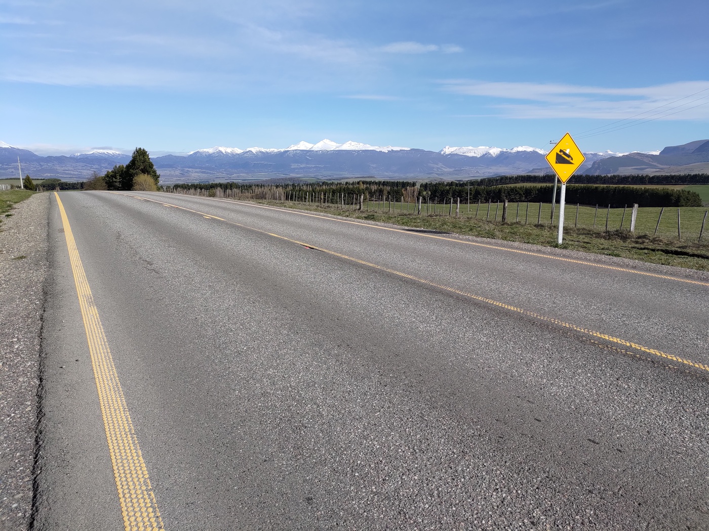
The road between Coyhaique and Villa Cerro Castillo is basically a long climb followed by a final descent. Some people break it into 2 days, but since it’s paved all the way and being well rested and trained (and pushed by my friend), I decided to do it in one day. Straight out of Coyhaique you notice the change in landscape, from the forests of the previous days to mostly pastures.
First leg to El Blanco
I divided the day into 2 legs, the first one to El Blanco. This section is shared with many cars going to the airport, the biggest one in the region. The first part is a steady climb but for some reason it felt heavier than the one the day before, though it may have been the wind. The passes between mountains and in the distance you can see jagged hills, and cattle in the grass that covers the land all the way to El Blanco. After a quick descent I arrived to El Blanco at a good time, so I stopped in one of the stores in this small village to get water and a fast carbs from a Coke.
Soon after El Blanco the road splits, one continuing to the airport in Balmaceda, and the other continuing south.
Alone in the mountains
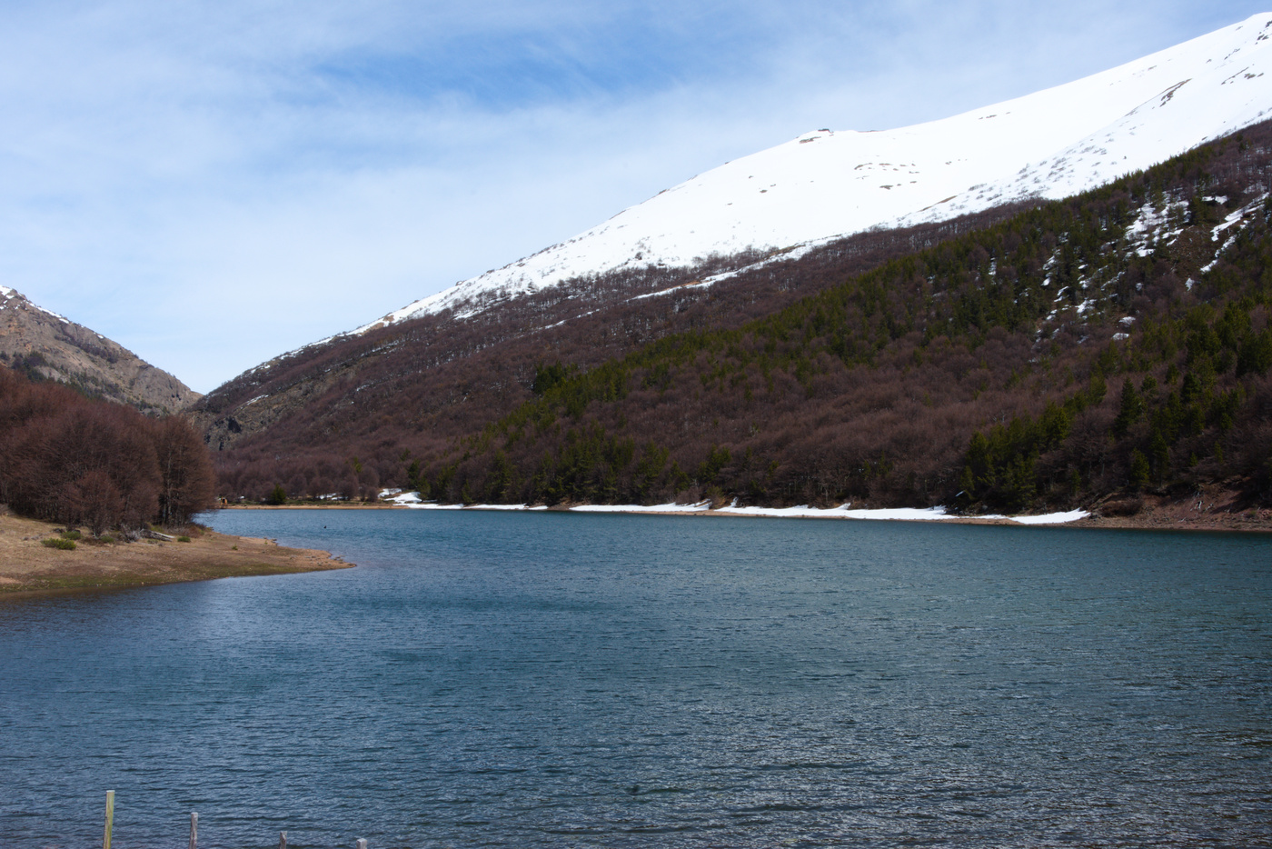
Straight out of the bifurcation, 2 tourists waiting at a bus stop say hi and see you later. The road then starts to climb steadily and a bit steeper than before. At the time I was traveling, I saw a few cars going up, particularly in a section without pavement where I got all the dust lifted by them. As the road climbs, forests start to appear again and snow at the top of the mountains gets closer. My next long stop was a Laguna Chiguay, where I had lunch. A few people in cars also stop at this place and further up the road there is a camping that would have been a good place to stay, but it wasn’t open for the season.
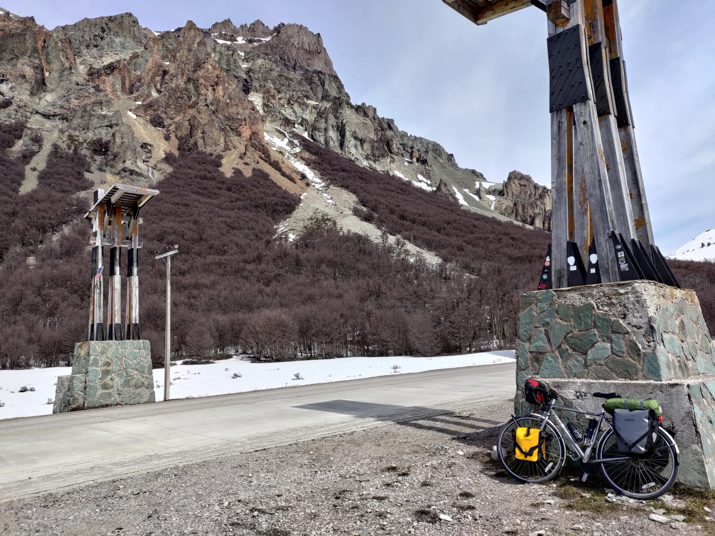
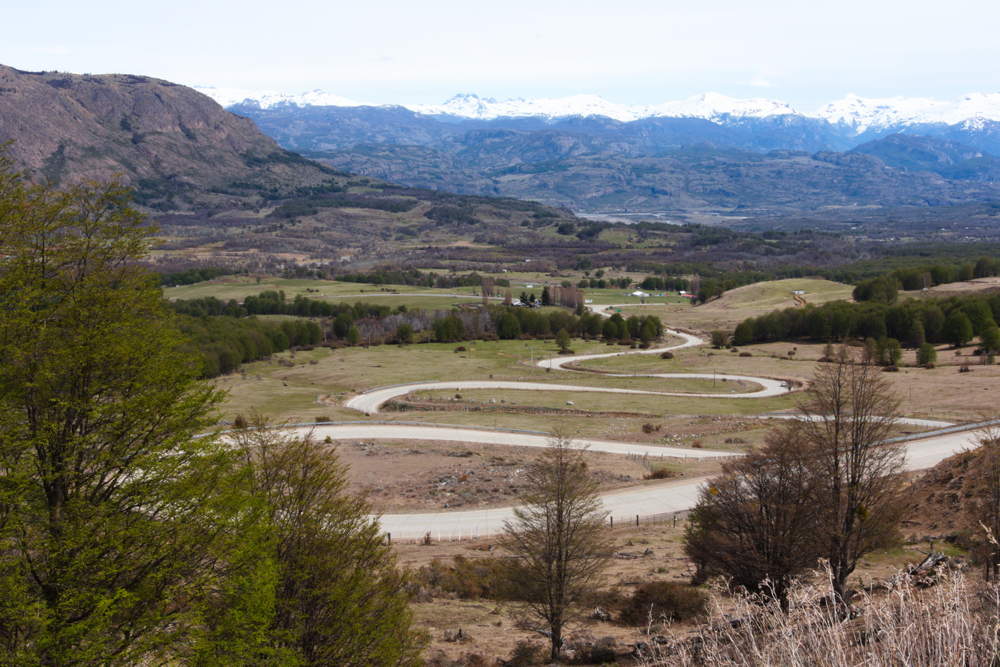
A quick descent is then followed by the final climb of the day. This section of climb is not difficult, it being steady and long. The road now is almost deserted and the snow is next to the road. Although a usual place for seeing animals like huemules (deer), I didn’t see any. At the top of the climb I stopped for some pictures of the snow between the mountains. The descent into the Rio Ibañez valley was very fast and full of amazing views. Starting with the Cuesta del Diablo, a set of switchbacks that descent into the valley, and ending in fast almost straight road into Villa Cerro Castillo. Once in Villa Cerro Castillo, I searched for a camping.
Days at Villa Cerro Castillo
Although I had contacted the owners of a camping site, once I arrived they told me they were actually 5 km away from town. In town only one was open, the one from Turismo al galope at the end of town. Once again I was the only one in the camping, but some people arrived with camper vans. The owners told me some foreign cyclists had left the day before, so I was hoping to catch them further south. The town is small and walkable, and also have a couple of good restaurants serving huge sandwiches and small stores. There is also a cash machine at the petrol station.
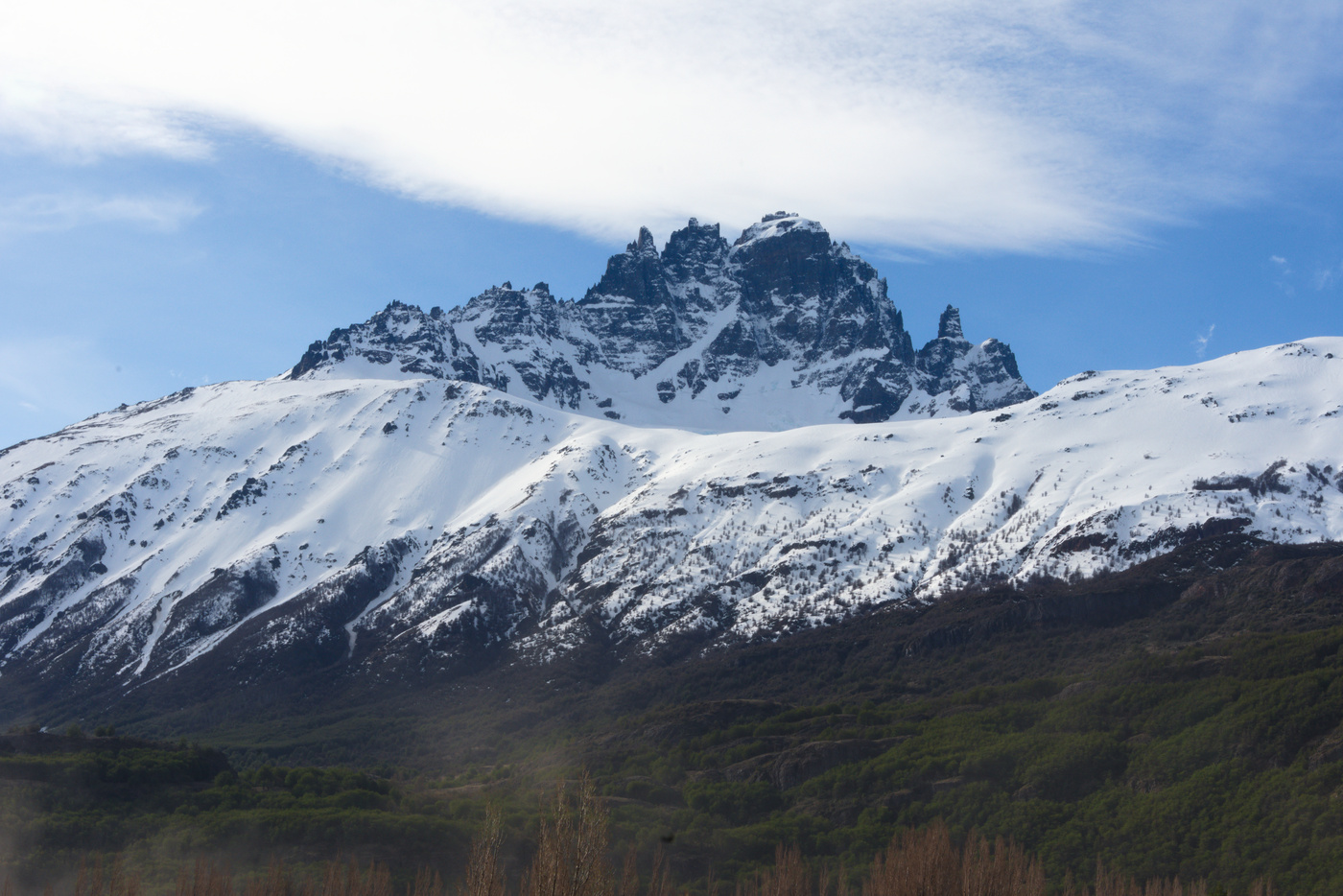
My plan for the next day was to hike to the lagoons up in the National Park. However, the path was closed because the snow hadn’t melt yet. The only path that was open was a short hike to one of the camping sites. Getting to the entrance got me some time because I decided to walk instead of riding the gravel road. When I was getting there a pickup truck driven by park rangers brought me to the entrance.
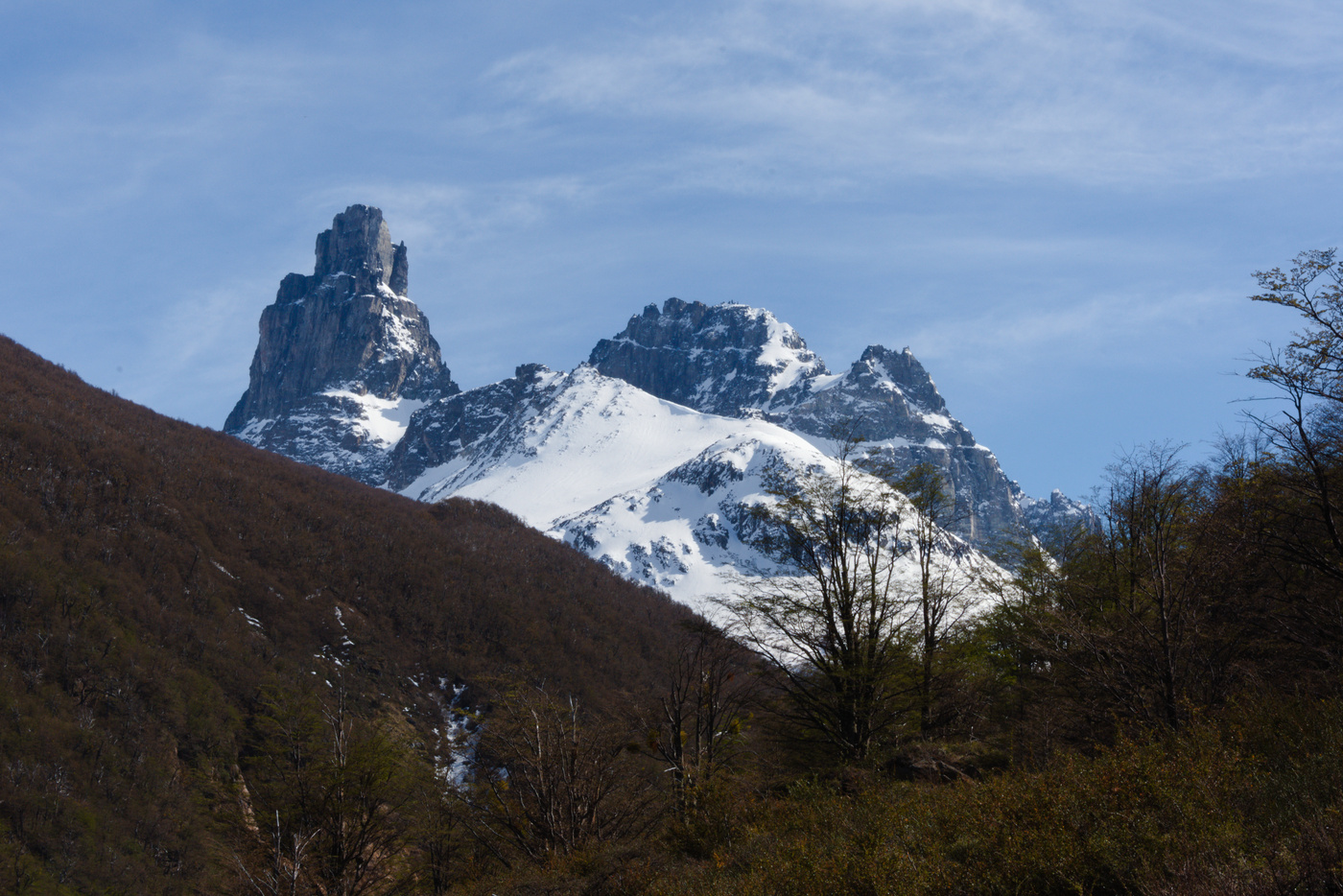
The hike climbs through coihue and lenga forest, with nice views of the peaks of Cerro Castillo. Few people were on the path, I passed a guide with Argentinian tourists which were going further (some trails were open only with a guide because of the snow), and on the way down a Brazilian couple. Back on the road I hitchhiked back into town (with the driver not recognizing my Chilean accent). Missing on the lagoons, I will have to definitely return to Cerro Castillo.
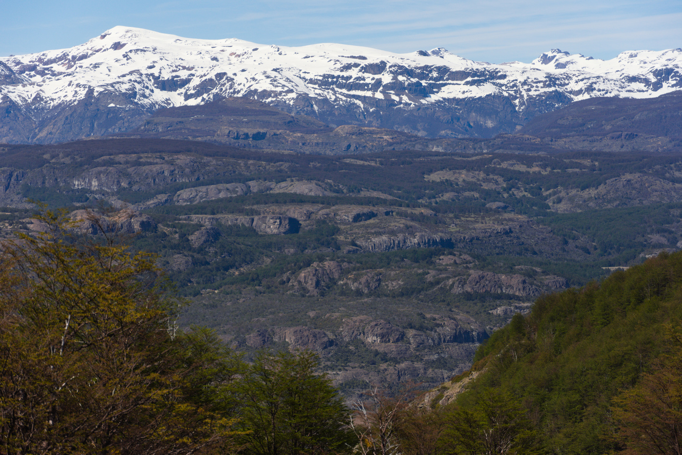
Before sleeping a look at the weather forecast for the next day indicated it may be rainy in the morning. Added were the almost 120 km to Puerto Rio Tranquilo, indicating that the next day was going to be a tough one.
Maps:
More pictures:
Enjoy Reading This Article?
Here are some more articles you might like to read next:
