Carretera Austral - The long wait
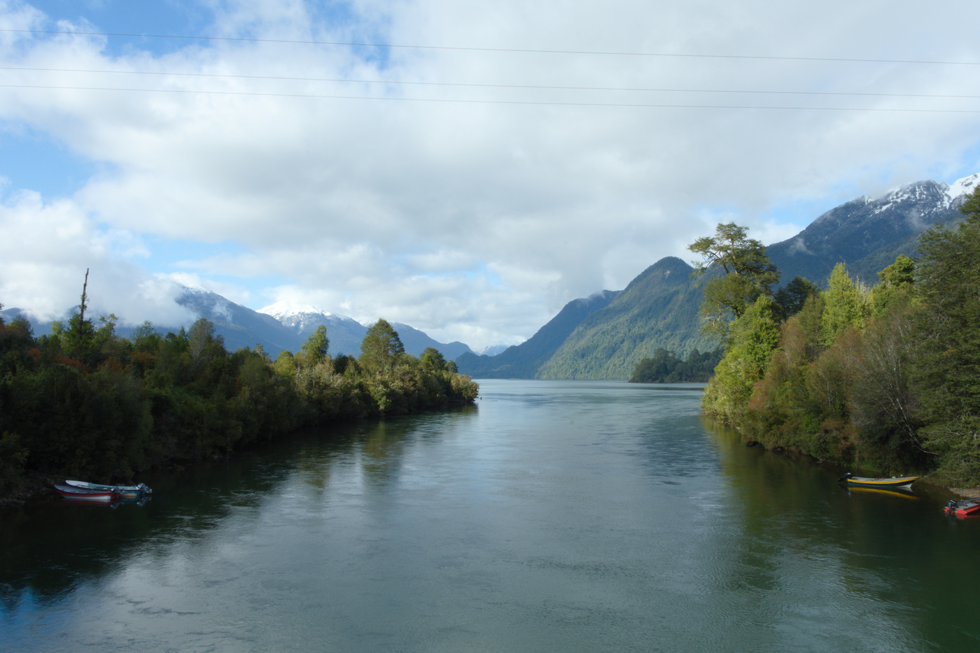
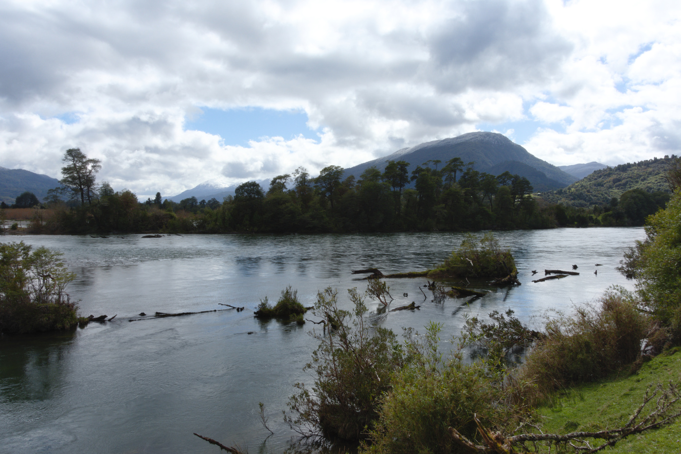
After a few days cycling with a loaded bike I had become aware of how many kms I could cover each day. So I estimated that going that getting to Puyuhuapi would be a breeze. This gave me some time to visit the places I had planned to visit the day before and couldn’t because of the rain. The owner of my accommodation let me leave the bags there, so I traveled light to a couple of places. First I visit the Rosselot lake. After the road through Pumalin, this was the second time I would ride on gravel, but this time the gravel was more similar to what I found further south. Getting to the lake didn’t take too much time and the gravel wasn’t that bad. There aren’t any walking path around the lake, but there is a small pier from where one can walk along the shore. The lake is surrounded by green mountains and many birds can be seen in the beach. After a walk and some pictures, I headed back the same road and then to the second place, which was the confluence between the Palena and Rosselot rivers. To get there I parked my bike next to the road and crossed a fence used to keep cattle off the road. The confluence is not as majestic as the ones of rivers south of Coyhaique, but still worth a short visit.
Heading to Puyuhuapi
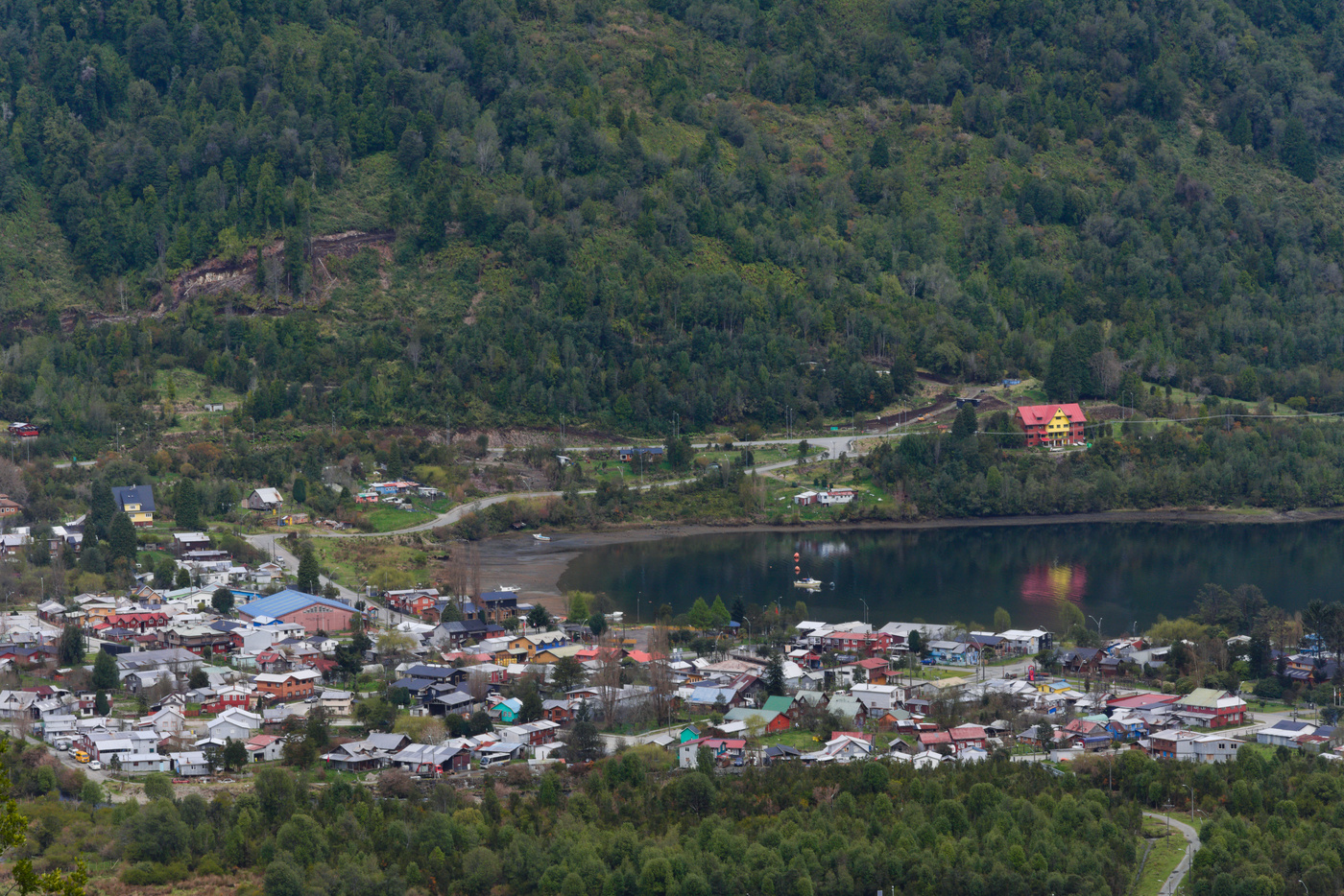
After this short adventure on gravel, I returned to the hostel to get my bags and resume my trip south. The road to Puyuhuapi was flat with a couple of gravel sections where landslides went through the road. Since I started later than previous days, I had a stop for lunch on the side of the road around Risopatron lake. By that time the cold head wind and passing clouds that were present leaving La Junta subsided and the day was now bright and sunny. Soon after lunch I arrived to Puyuhuapi, so I headed to a cafe for dessert. Puyuhuapi is a small town located in the coast of a fjord that is well protected from the sea, so the waters are quiet. The turn to use my tent had finally come, I installed myself in one the camping sites in the coast (one was closed and didn’t ask in the third one). I was alone in the camping, but the owner told that another cyclist left during the morning.
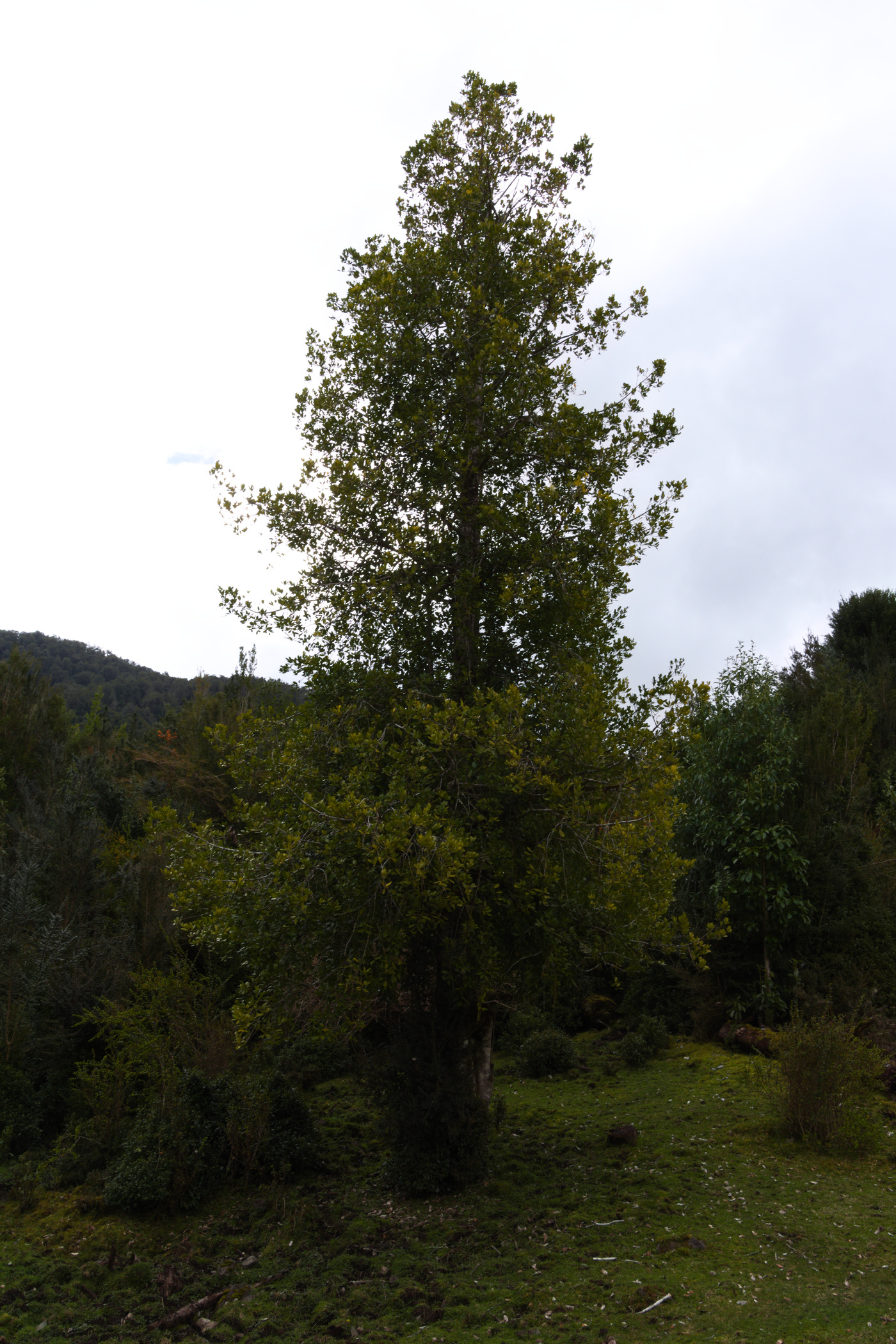
Similar to La Junta, there is an easy hike to get a panoramic view of the town and the fjord. The trail goes through the side of a hill and is home of many canelo trees (hence the name of the trail). Since the days before were rainy and cattle usually use the trails, the top of the trail was muddy. Nonetheless, the views at the top were worth the dirt in the shoes. Back in town I walked around and bought bread, striking a conversation with the bakery owner. He shared with me some stories (like one were a cycling tourist was strangely attacked by a puma during winter) and advice for the road south.
Long wait
The morning next day was very cold, the coldest during this trip, with temperatures below zero. In the camping I had my first experience turning on the wood stove, but I didn’t succeeded without the help of the owner. The Queulat NP was closed a three days a week due to road work on the park, which meant I had to wait one more day around Puyuhuapi. So I decided to move to a camping site closer to the park (the camping site inside the park was also not working). These campings were just a few kms from Puyuhuapi, so I just took my time defrosting/drying my tent with an incipient sun light. Before leaving the town, I enjoyed a last visit to the cafe to have a kuchen and hot coffee.
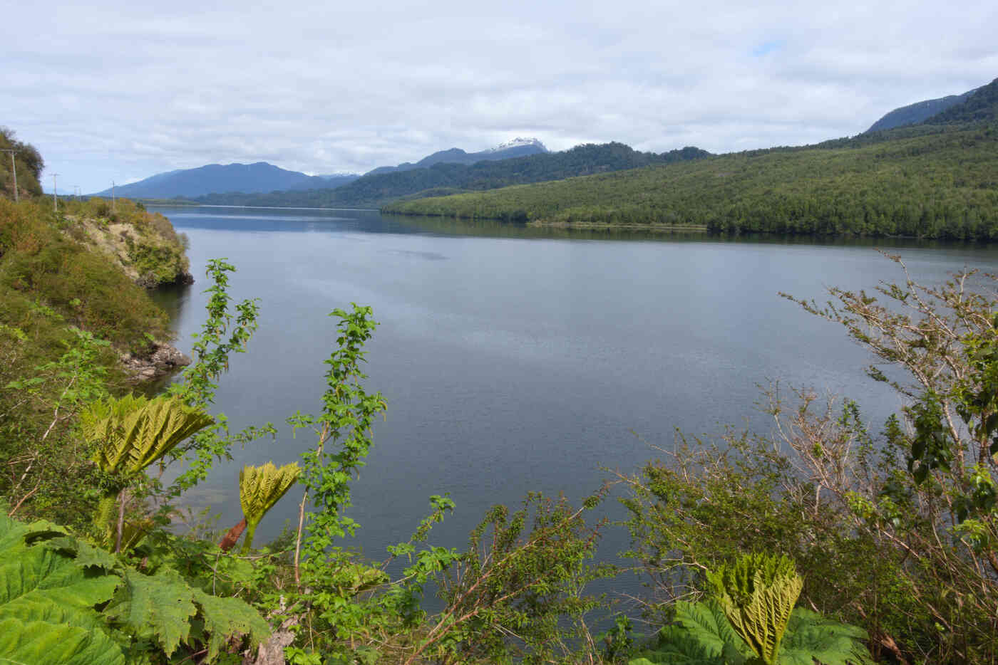
There were two working camping sites near the park, my first option was slightly after the entrance of the park (further away from Puyuhuapi). When I got there, the toilets and showers looked clean, but the sites were not quite ready and you can see that sheep had used them recently for protection. So I went to the other option, which was before and further back from the entrance to the park. The camping was really nice, with access to a small beach where later that day I saw a martin pescador (common kingfisher), and the next morning the fins of a couple of toninas (Chilean dolphins) going into the fjord for breakfast.
So far my food planning had been very poor, I still have food that I brought from Santiago and hadn’t used my camping stove. Bread had been available throughout the trip, and restaurants/cafes were easy to find. However there weren’t any stores near the camping site, the closest one were I was able to get bread (actually quite big ones) was in front of the other camping site. Learning this from one of the workers in the camping site, meant I had to travel there and back once again. It turned out that this would be enough for breakfast and a couple of days to keep me fed on the bike.
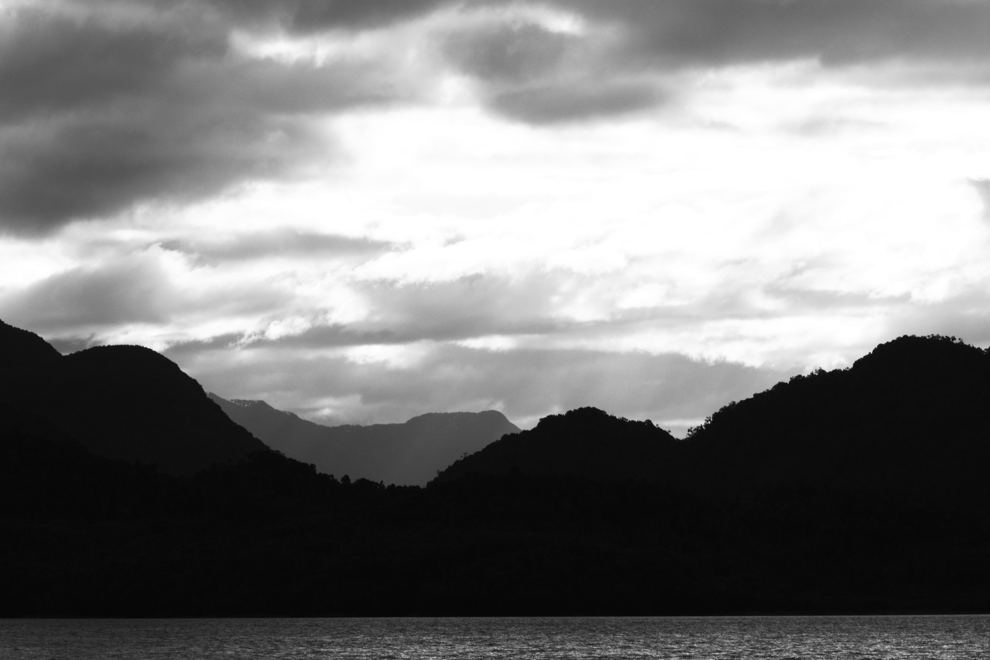
Here I planned my next day, which was going to be quite hectic. The plan was to wake up early to arrive as soon as the NP opens, hike to the overlook and then continue my trip around noon. With 60 km separating the NP and the camping site I planned to stay the day after, including a gravel section with a “cuesta” that many people think is the most difficult of the whole trip, this was going to be the day I would arrive the latest to my next stop so far. Without artificial light in the camping, I went straight to sleep after enjoying an amazing sunset.
Maps:
More pictures:
Enjoy Reading This Article?
Here are some more articles you might like to read next:
