Carretera Austral - The road to Chaiten

The day started with a bit of rain, wet roads at the beginning and then a few drops started to fall when I was waiting to board the ferry. At the ferry pier, 4 other cyclists were waiting with bicycles much loaded than mine. Some of them coming from longer trips covering other countries in South America, and with different nationalities. In this road everybody is doing its own thing, you may be lucky and stick with a group but plans/goals are different for each cyclist. So this part of the trip is good to share ideas and experiences.

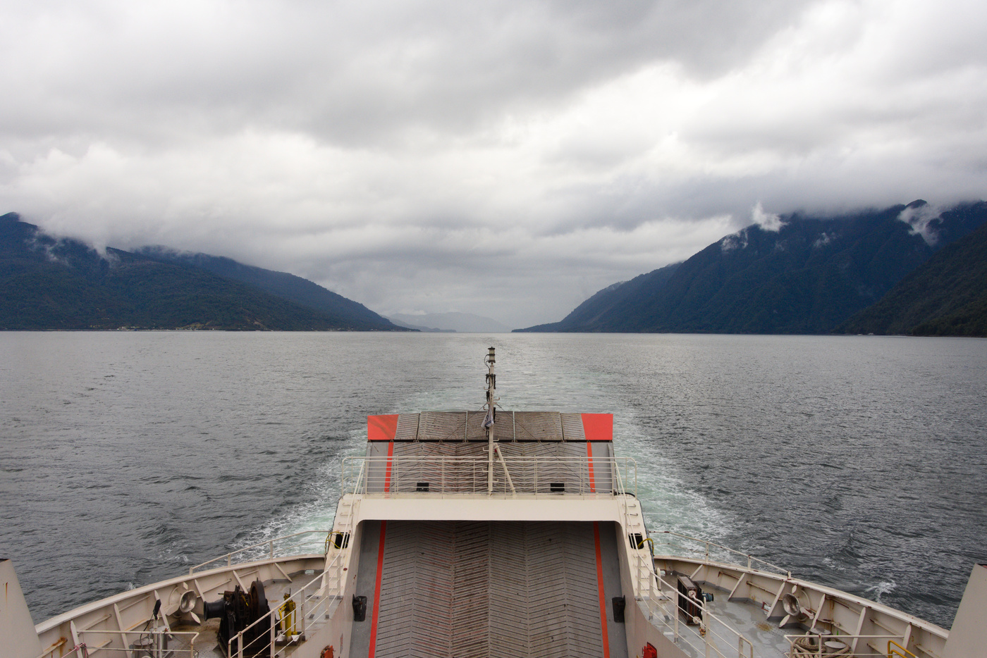
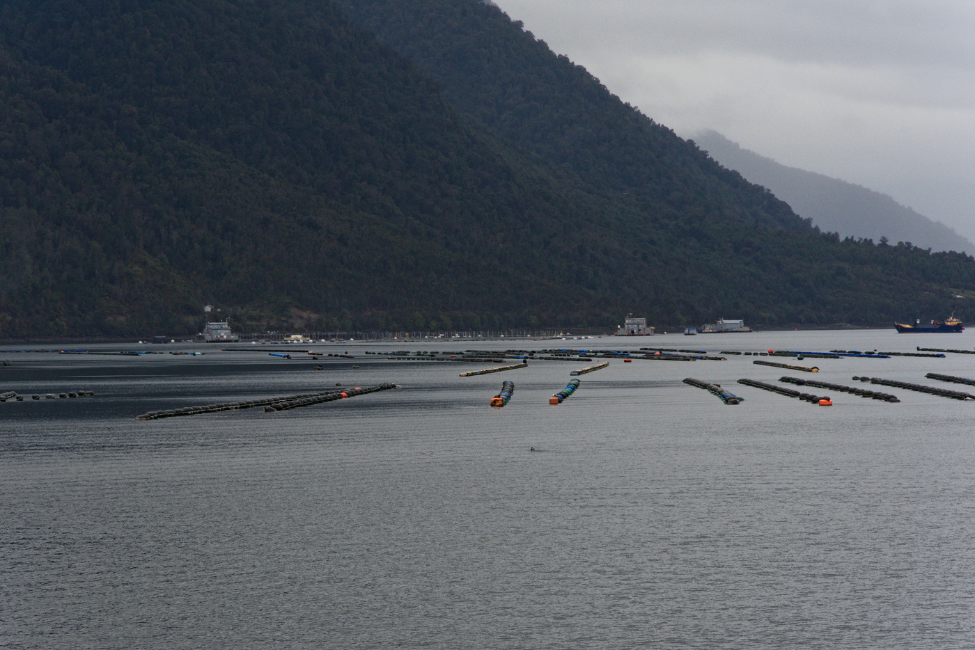
Getting to Caleta Gonzalo involves a long ferry trip to Leptepu (3.5 hrs), a transfer to Fiordo Largo (none can be left behind), and a final 45 minutes ferry. The day was cold with occasional rain as we transit between the continent and islands, and fjords. The coast was dotted with small houses and huts near salmon farms, some of these houses only reachable by boat. When the view to the west opened only sea could be seen, Chiloe is far enough that you may need to go up to higher ground for a distant view. The trip may seem tedious, but the few stops in the rain allowed me to take some pictures of the fjords with menacing clouds.
For us cyclists, the transfer between ferries had two options. Since the high season was starting, the ferry personnel offer us to either cycle (the weather forecast said it wasn’t going to rain) or a bus. The second option meant we would have had to unload the bikes. However we were lucky, a truck carrying a few building tools had space for all the bikes and the driver was nice enough to carry them as they were. Hence, we just load the bikes and took the bus.
Flying through Pumalin National Park
The arrival to Caleta Gonzalo was cold, with sleet falling on the ferry, but just when we touch land the rain stopped. The first bad news were that the Pumalin National Park camping sites were closed, only the private one and the huts in Caleta Gonzalo were operating. Talking to my hostel host the day before I got the idea that you can still use the camping sites. What it really meant was that they weren’t maintained, so toilets may not have water and be dirty, but they were free. So three of us decided to risk it and continue since it was only 15:00 and the sunset was later than 20:00, but soon after I got ahead alone.
There were some works on the first section of the road, so the gravel was bad, wet and with water accumulating in some sections. My only stops were to push my bike in the sections were work was being carried out and for a fast walk through the Los Alerces trail. The recommendation of my hostel host was to camp in the Camping Lago Blanco, but when I arrived there a backhoe loader was blocking the entrance. This plus being alone with occasional rain in a tent which I haven’t tested in rain for a long time, made push forward to the next camp site. Although there is a park ranger house at the next camp site, the situation was the same: no ranger and a closed camp site. So I made the decision to push forward to Santa Barbara.

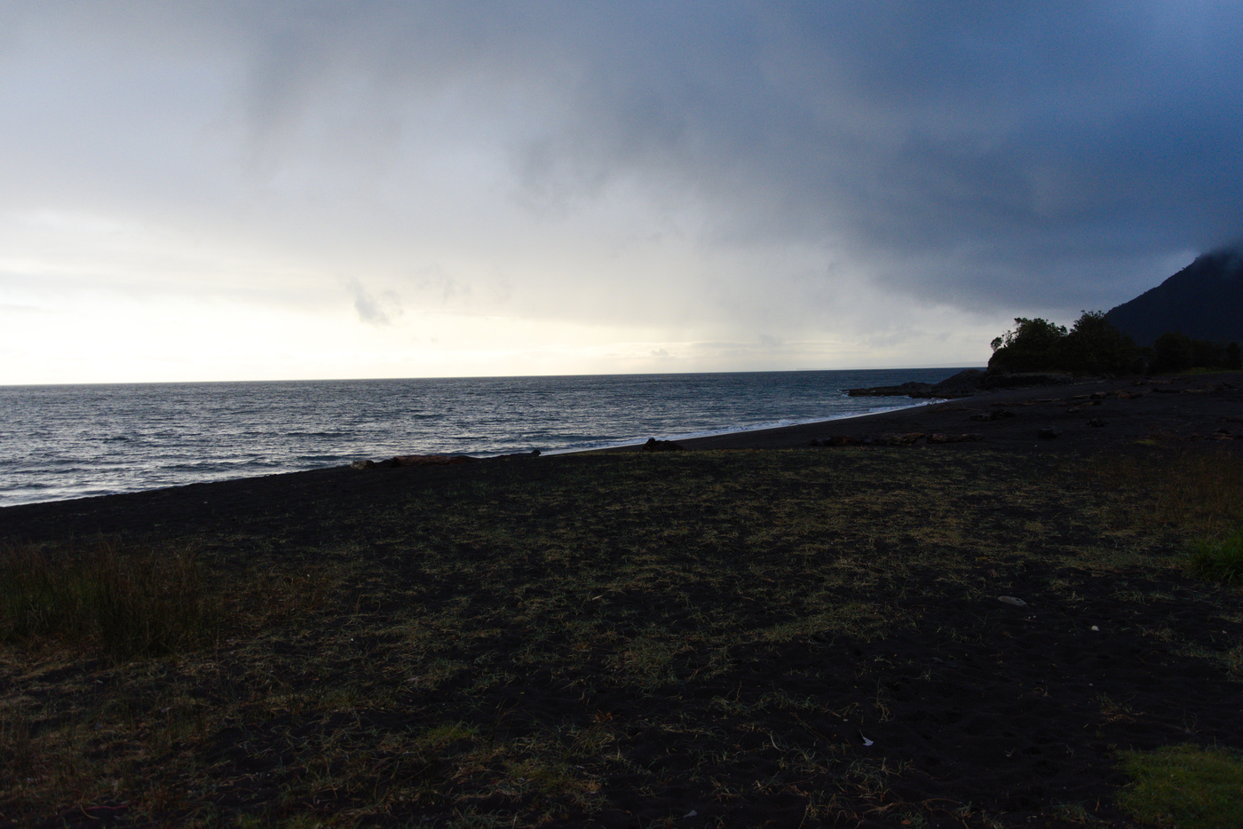
The gravel road, which by that point was relatively good, finished soon after and in the tarmac my speed increased and arrived to Santa Barbara at around 18:00. In the only store open I bought some bread and asked for accommodation nearby. The owner told me that I could either camp in the beach, famous for its black sands and amazing sunset views or continue to Chaiten, a large town at mere 10km south. So I just made a quick stop by the coast (I saw the beach from the street, but stopped too late for a picture) and then pushed to Chaiten.
My original plan was not to stop in Chaiten, but to make a quick stop to get food on my way to the other sector of Pumalin NP. So after arriving, the first thing to do was to find a place for the night. Since it was cold, I decided to stay at an hospedaje (something between hostel and hotel) and rest for one day.
Not quite high season

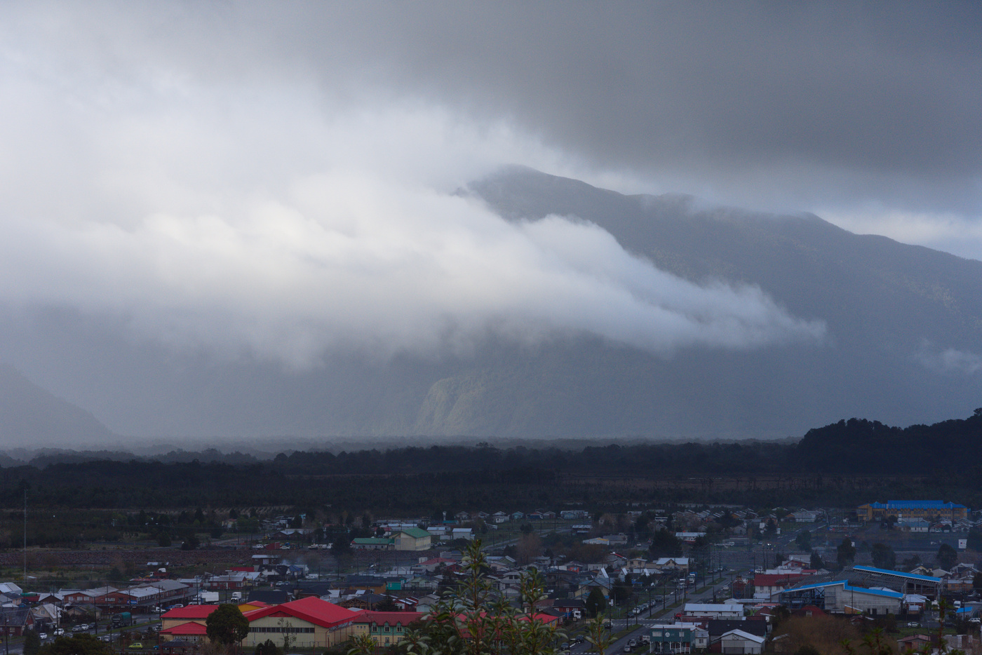
On my day off I had a nice chat with the information center guide. Then I realised that many of my original plans weren’t going to be possible. Staying at the Ventisquero camp site in the Amarillo sector of the Pumalin NP was not going to be possible, as they were doing maintenance, and the only trail open was the Ranita de Darwin. So I meditated as I was walking around town, taking pictures and visiting the places affected by the volcano eruption. Given the closeness of the park to Puerto Montt, I decided to visit what I can and leave a longer visit to the park for another trip. With this in mind I was ready to push on to the south next day.
Maps:
More pictures:
Enjoy Reading This Article?
Here are some more articles you might like to read next:
