Carretera Austral - Following the Baker
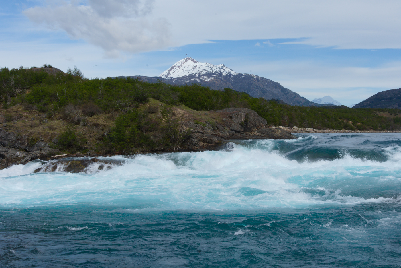
The breakfast was plentiful, though the bread was a bit hard. Either way, it was a good start for a day full of cycling. The game of the day was basically to follow the Baker river, which starts from Bertrand lake. The river is a hot spot for people doing rafting or kayaking because of its rapids. The colour of the river is also its main attraction, as it changes along the way. At the start is deep green/blue, which I follow just separated by trees and every now and then holiday lodges or huts.
Confluences
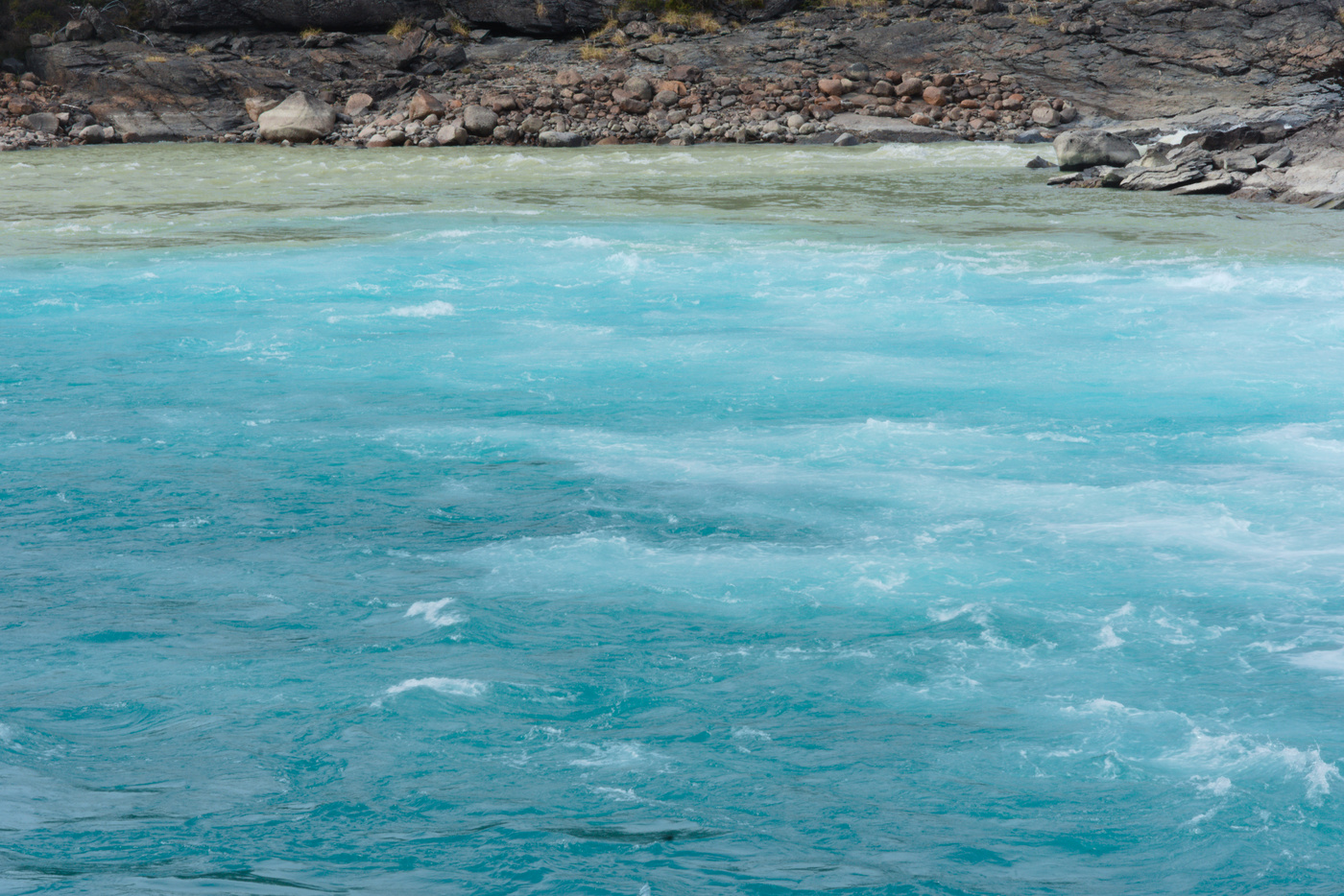
The first big stop was to see the confluence of the Baker and Nef rivers. As a glacier fed river, the colour of the Nef is milky green like the Exploradores river, so at the junction the colour of the Baker changes to emerald. To get to this junction is necessary to walk through a well marked path, which I tackled after leaving the bike behind a bus stop (without lock). When I arrived there I was alone but on the way back a few tourists were walking to see the junction, two of them asked me how far it was. It turned out the two guys were a guy driving along the carretera and a cyclist who got bored of the gravel and was picked up by the other guy. As I was leaving the couple from the hostel in Puerto Bertrand was just arriving.
So far the road had been flat, but soon after the first climb brought loose dirt and a machine fixing the road, but it felt that it was making it worse. I stopped a couple of times to look down to the river, which gets into a canyon in this section. I had food at the top of the climb, a long stretch of straight road between mountains without any forest, just shrubs. As the road was getting further from the river, the landscape turned more brownish.
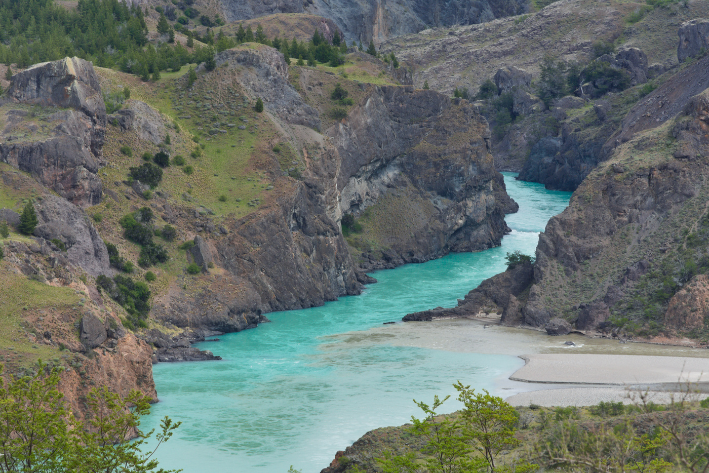
The next descent got me to the junction of the Baker and Chacabuco rivers. Right after the crossing the bridge over the Chacabuco river the next climb starts. I felt a car coming behind me, and it felt like they were waiting to see if I can get through the first hairpin which was really steep and dusty. Giving my previous experience in the cuesta Queulat, I kept calm and was able to climb without stopping. Near the top, the entrance to the Patagonia National Park told me I was getting close to Cochrane. Since I didn’t know whether the camping sites were open in this area of the park (which is managed by a different foundation), I didn’t plan to enter here. However, I stopped on the lookout next to the road for a view of the Baker canyon and the river junction from far up.
Once in Cochrane
Right after the top of the climb a steep descent section starts, which I took very carefully in case cars were coming the other way. Once the worst section of the descent is gone, the view opens to a valley with the Baker at its center and much greener than the hills where I stopped for food. At this point I was getting tired of the gravel for the day, but still some 10 km left to get into town. However 5 km before Cochrane new tarmac provided some respite for my tired legs and arms.
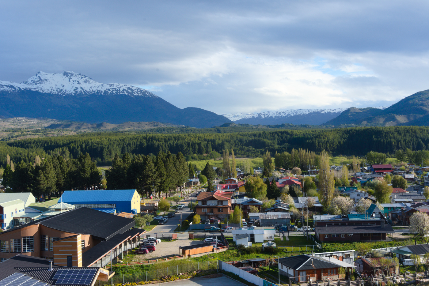
Once again I arrived before 15:00, so I went directly to the main square and waited for the tourist information centre to open. This was the best decision, the guy in tourist information was very well informed. I told him about my plans, how many days left and what can I do around Cochrane. He finished convincing me that I should take the ferry between Tortel and Puerto Natales. With only one trip a week on Saturdays, I had 1.5 weeks to get there. Based on this he gave me several alternatives, around Cochrane these included visiting the Patagonia NP Tamango sector and also going to the Cayuqueo glacier. On my way south he recommended me to stop at Los Ñadis, instead of stopping at Lago Vargas.
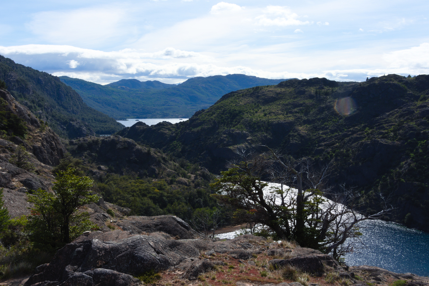
To visit the Cayuqueo glacier, I called several tour companies but they didn’t have enough people for a tour. Later I learned that I could have gone by bike and then take a boat to see the glacier. Either way, I set myself in the Camping Calafate and talking to he owner, she recommended me to just go for the day to Tortel (the day of the ferry). So the first thing I did was to book the ferry ticket and contact the Refugio Rio Ñadis people to let them know I wanted to sleep there. The Refugio Rio Ñadis doesn’t have internet connection, so I was lucky I got a reply while the owner was in Cochrane stocking up. With my plans starting to settle, I walked around town to get dinner, buy food for my hike the next day, and visited the Cerro La Cruz lookout for a view of the town. Although the town has a brewery, in the information centre they didn’t recommend to visit at the moment because they were just starting to produce the beer. Either way when I passed by their restaurant it was closed.
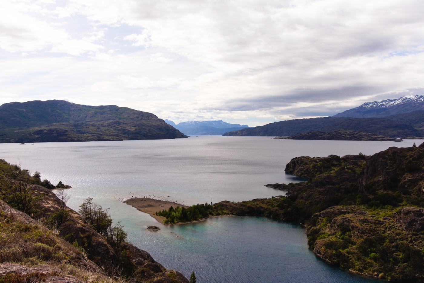
The next day I took my bicycle and drove to the Tamango sector of the Patagonia NP. Many people, including the park rangers in the Exploradores, recommended to do the Carpinteros trail. Most also said that it was a good place to see huemules (deer). After registering and paying for my ticket I started walking. The camping site was close to the entrance and looked very quiet and well kept. Staying there was one of the recommendation from the park rangers in Exploradores, and I should’ve stayed there because the camping sites in town were much noisier due to the dogs. The trail follows the Cochrane river and wasn’t difficult. At the end you get to a lookout to see the Cochrane lake, a binational lake, and when I got there it was very windy. Although there are more trails that continue from there, the rangers didn’t recommend to continue because the last rain toppled some trees and some sections were blocked. On the way back I saw the couple of the Bertrand lake once again. At the end I wasn’t lucky with the huemules.
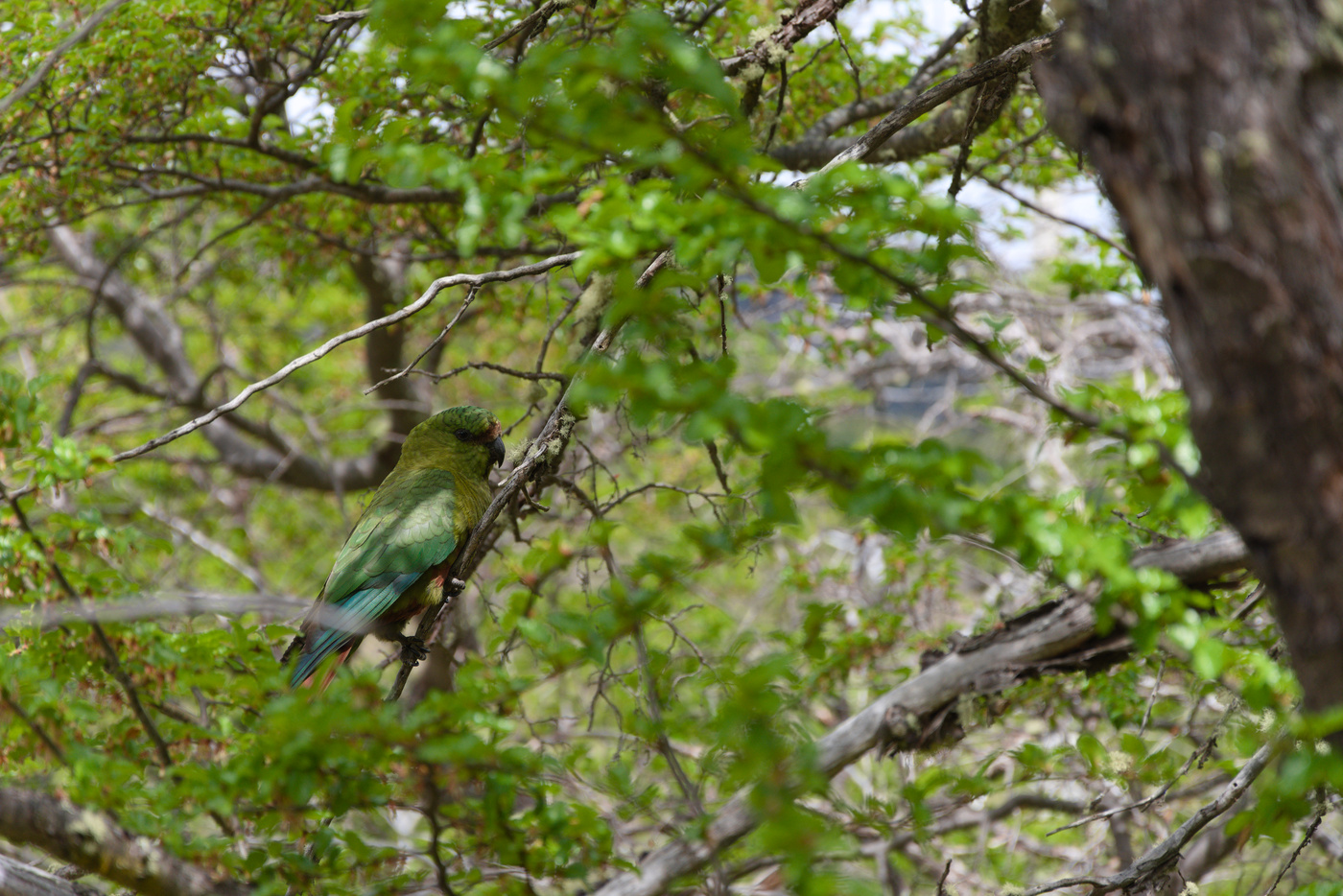
Without a positive answer from the tourist companies doing the Cayuqueo glacier trip, I enjoyed the afternoon planning my trip to Los Ñadis the next day, and walking some more around town. Since the refugio was in a remote place, I had to get provisions, luckily the town has at least 2 big stores. I also informed my plans to my family because I wasn’t going to have internet access until the last town of the trip in around 5 days time. The last check of the weather forecast announced rain in the morning, so I moved the tent under the roof they had just finished installing in the camping site and went to bed.
Maps:
More pictures:
Enjoy Reading This Article?
Here are some more articles you might like to read next:
